COUNTY TRAIL PROFILES
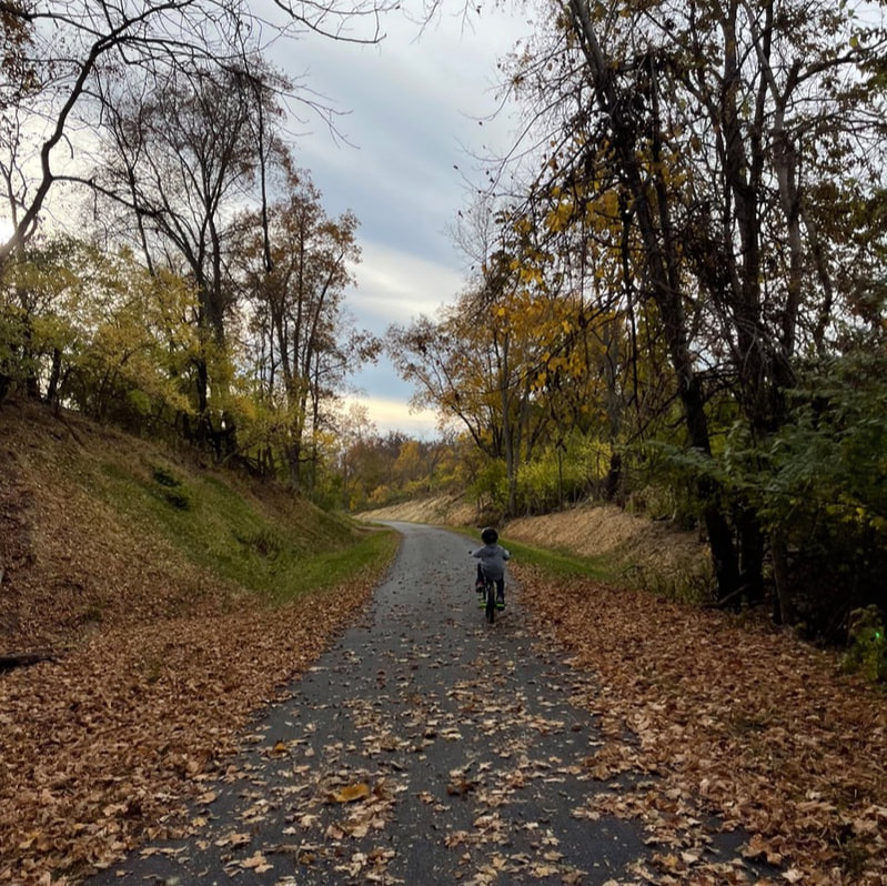
Elizabeth J Looney TrailThe Ogden Trail, or Elizabeth J Looney Trail, is a 3.5 mile trail traveling through woodlands and farm fields and ending at Ogden Road. This trail has four bridges that cross Todd's Fork as the creek winds back-and-forth across the trail corridor. Our next phase will be to extend the trail from Ogden to Clarksville.
Photo taken by Sara Gantz. |
|
|
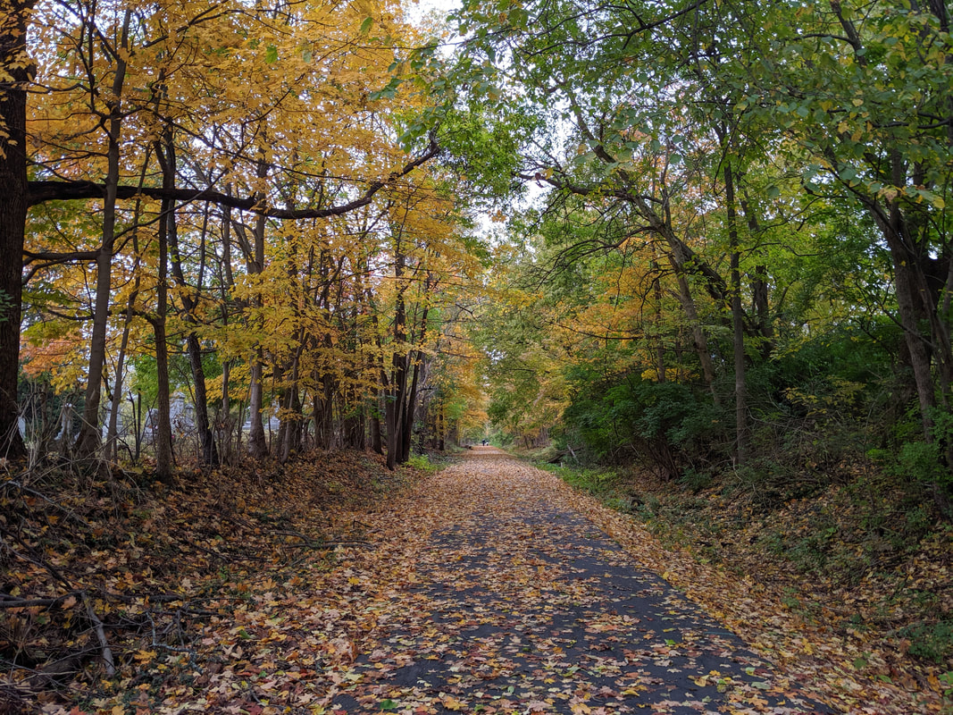
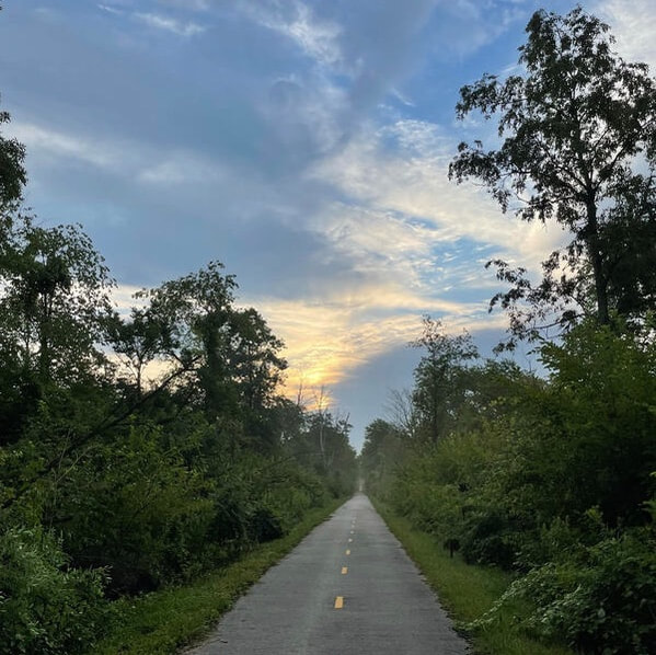
Luther Warren Peace Path (LWPP)Dedicated in 1999, this 1.2 mile, level paved surface trail with trail heads on Mulberry Street and Nelson Avenue. In addition to the trail heads, the public may access the trail via a connector bridge leading to the campus of Clinton Memorial Regional Hospital. Drinking water is not available on the Luther Warren Peace Path. Most of the Peace Path is shaded for comfort in the summer and the snow is removed in the winter making the trail a year round favorite with walkers and runners.
Photo taken by Taylor Stuckert. |
4-C Bicentennial TrailDedicated in 2005, this a 1.3 mile paved surface trail. The trail was designed and built to celebrate Ohio’s bicentennial of statehood. The “4 Cs” without whom the trail would not be possible are the City of Wilmington, the Clinton County Board of Commissioners and Wilmington College. Trail heads are located on Fife Avenue (across the street from David Williams Park parking lot) and in the Southeast Neighborhood park (access from Paris Avenue and Marilena Dr). Both trail heads have paved parking. The 4-C Bicentennial Trail has more variation in grade than the Luther Warren Peace Path. The trail also features a four foot wide grassy berm for horseback riding. Snow will not be removed from this trail to allow cross-country skiing, snowshoeing or other non-motorized winter sports.
Photo taken by Tiffany Whalen. |
|
|
Lowe's Drive PathOpened 2004, this 0.7 mile asphalt connector path, this trail connects Rombach Avenue (near J. Denver Williams Park) with Prairie Avenue. No services are available on the Lowe’s Drive Path, but water, parking and restrooms are available in J. Denver Williams Park, which is .1 mile from the intersection of Lowe’s Drive and Rombach Avenue. Enter J. Denver Williams Park from Rombach Avenue (on the north) or Fife Avenue (on the south).
|
Judy Gano TrailThis trail was opened in 2008 and is named after community activist and attorney Judy Gano. This trail connects the 4-C Bicentennial Trail with the sidewalk on Rombach Avenue, providing an important link to the Lowes Drive Trail and a future Citywide trails system. Note the Indian Trails marker near the Castle Playground parking area, an Eagle Scout project of Cody Clifton.
|
|
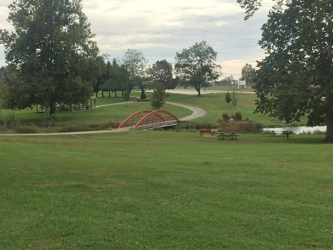
Lynne Lane TrailThe Lynne Lane Trail connects to the Judy Gano trail in the city park by the pond bridge. The Lynne Lane trail is 1 mile long and ends at Davids Drive. The next phase for this trail is to extend the trail along Davids Drive to the county office building at the intersection of Davids Drive and State Route 134.
Photo taken by Bruce Sanders. |
Clinton-Fayette Friendship TrailConstructed from 2015-2016, the trail runs for just over 7 miles from Melvin Road in Clinton County, through Sabina and onto Borum Road at the Clinton/Fayette County line. (The section from Melvin Road to Reeseville (SR72) is currently gravel).
Future plans for this trail are to connect it to Washington Court House to the east and Wilmington to the west. The entirety of the project is called the Clinton-Fayette Friendship Trail (CFFT). Photo taken by Jennifer Hohenbrink. 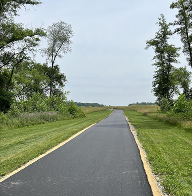
|